Section 9.0 (20Kb PDF) documents the studies of surface streamflow conducted during Phase 2.
Several methods were used to estimate natural streamflows in tributary streams. The results were used to calibrate the Okanagan Basin Hydrology Model (OBHM).
Runoff (the streamflow generated per unit of land surface area) increases from south to north, from west to east, and with elevation.
About 83% of the total streamflow in the Basin enters Okanagan Lake, and areas downstream of the Lake (south of Penticton) generate only 17% of the total runoff in the Basin. Mission Creek is the largest tributary, producing 28% of the flow in the Basin, and Trout and Vernon Creeks each produce about 7% of the Basin flow.
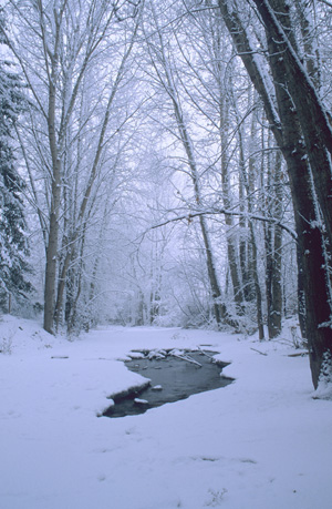
Streamflow is highly seasonal, with 86% of the streamflow generated from melting of the winter snowpack between March and July, and only 14% occurring in the other 7 months of the year.
It is recommended that additional streamflow monitoring stations be installed throughout the Basin, particularly downstream of the major storage reservoirs.
Surface-groundwater interactions on the major alluvial fans in the valley bottom should be investigated to advance our understanding and improve our ability to model streamflow and groundwater discharges to the main valley lakes and Okanagan River, and our understanding of ecosystem needs during low flow periods of the year.
Related Links:
- Summary Report – Section 9.0 – Surface Water Hydrology (20Kb PDF)
- Real-time Hydrometric Data (Water Survey of Canada – Environment Canada)
- Streamflow Data for Washington State (USGS Washington Water Science Center)