
Hardy Falls
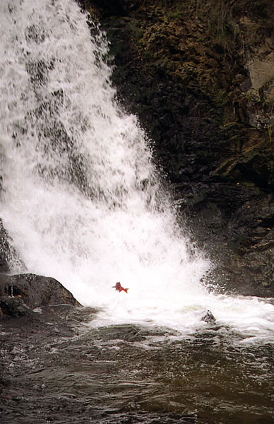
As human development and water extraction levels become more alike throughout the basinLand area from which water drains towards a common point, and are in addition to climate pressures, even more stresses are exerted on Okanagan fish populations.
As fisheries regulators seek to protect fish populations, more conflicts are likely to arise between other water users.
Field-based in-stream flow studies are needed to determine environmental flow regimes that sustain aquaticWith reference to water life and ecosystemA system in which populations of species group together into communities and interact with each other and the abiotic environment function in any particular location.
- Increasing Competition during High Demand Times
A convergence of peak times for fish and people means that existing competition for water in the basinLand area from which water drains towards a common point, particularly during summer (e.g. when there are flow reductions in fish-bearing streams) will likely intensify in future.
- Stream-flowsThe flow of water in rivers or stream channels in the Okanagan BasinLand area from which water drains towards a common pointThe Okanagan watershedLand area from which water drains towards a common point, or basinLand area from which water drains towards a common point, is a narrow strip that spans from Armstrong, British Columbia, Canada to the US border and includes five main lakes – Okanagan, Kalamalka-Wood, Skaha, Vaseux and Osoyoos – and surrounding mountains.
The Okanagan BasinLand area from which water drains towards a common point includes all the land that feeds water to our big lakes, and is almost 200 km in length and 8,000 km2 in area. Kelowna, Vernon, Penticton and Osoyoos all lie within the Okanagan BasinLand area from which water drains towards a common point.
Stream-flowThe flow of water in a river or stream channel during the seven months of August to February accounts for only 14% of total basinLand area from which water drains towards a common point rechargeRefers to water entering a groundwaterWater existing below the ground surface in aquifers aquiferAn underground formation that stores groundwater through percolationVertical movement of water from the surface to the subsurface from the surface or through lateral movement from an adjacent upslope aquiferAn underground formation that stores groundwater, while the 5-month period March to July accounts for 86%. The August to February total stream-flowThe flow of water in a river or stream channel averages about 18,200 MLMegalitre. One ML = 1,000,000 litres, i.e. 1 dam3 per month, which is primarily contributed by groundwaterWater existing below the ground surface in aquifers.
- Hydrometric Monitoring in the Okanagan BasinLand area from which water drains towards a common pointThe Okanagan watershedLand area from which water drains towards a common point, or basinLand area from which water drains towards a common point, is a narrow strip that spans from Armstrong, British Columbia, Canada to the US border and includes five main lakes – Okanagan, Kalamalka-Wood, Skaha, Vaseux and Osoyoos – and surrounding mountains.
The Okanagan BasinLand area from which water drains towards a common point includes all the land that feeds water to our big lakes, and is almost 200 km in length and 8,000 km2 in area. Kelowna, Vernon, Penticton and Osoyoos all lie within the Okanagan BasinLand area from which water drains towards a common point.
Within the last decade, the network of stations that measure stream-flowThe flow of water in a river or stream channel and lake levels has been reduced to about half of historical levels, presenting a challenge for hydrologicAdjective of the noun hydrologyThe science dealing with the properties, distribution, and circulation of water modeling and water management activities.
Read More:
Downloads:
On-going Projects: